01
Seed dispersal mechanism
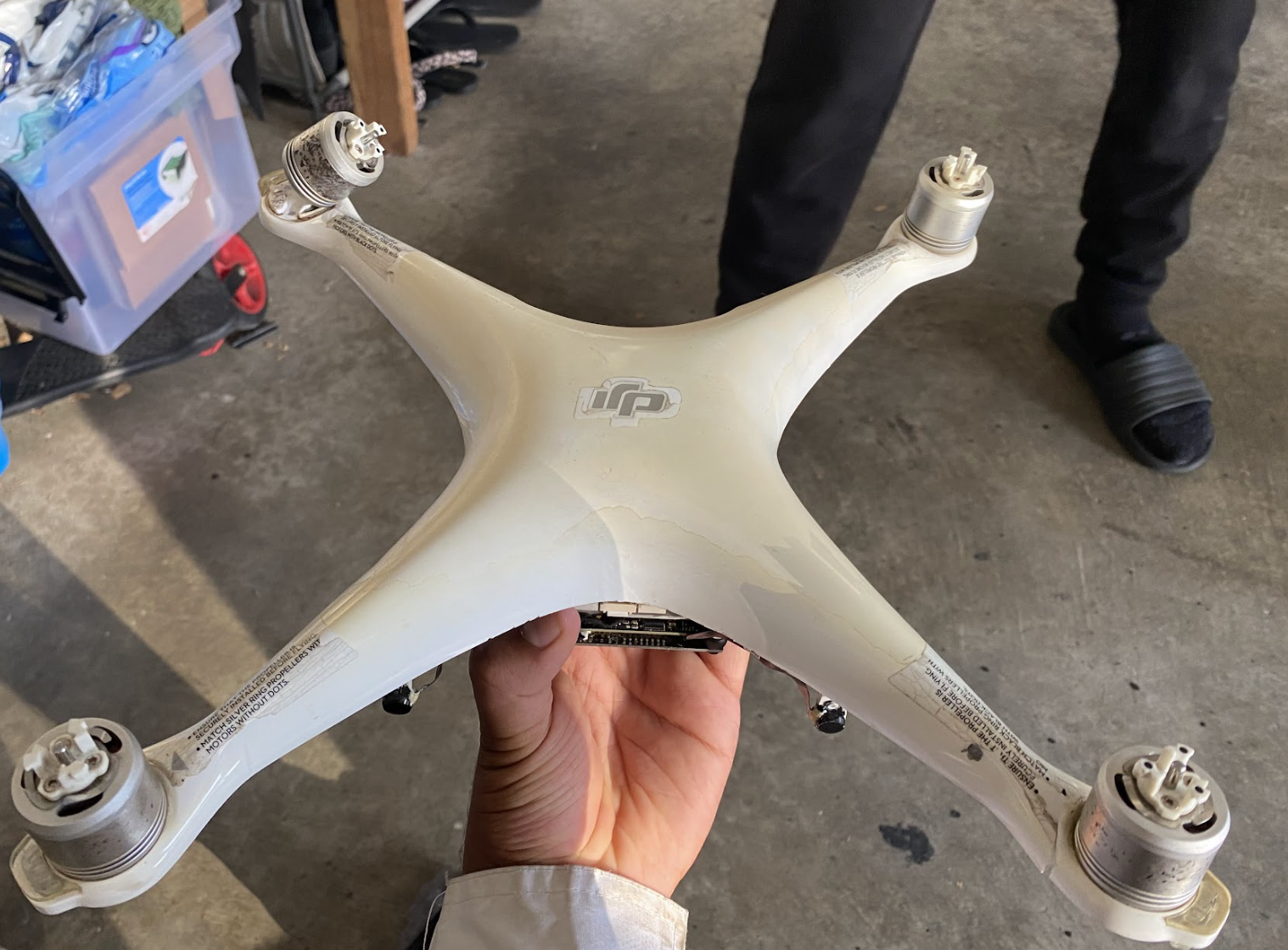
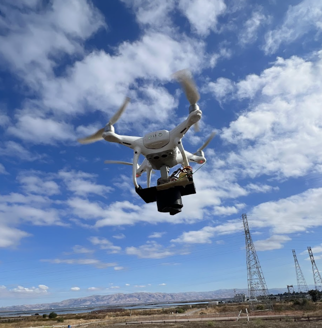
Designed a gravity-fed release system that metered seeds consistently without compromising flight stability.
An autonomous seed dispersal system for landscapes rebuilding after fire—designed from the sky, tested on the ground.
Explore the work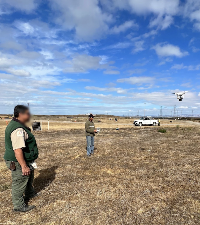
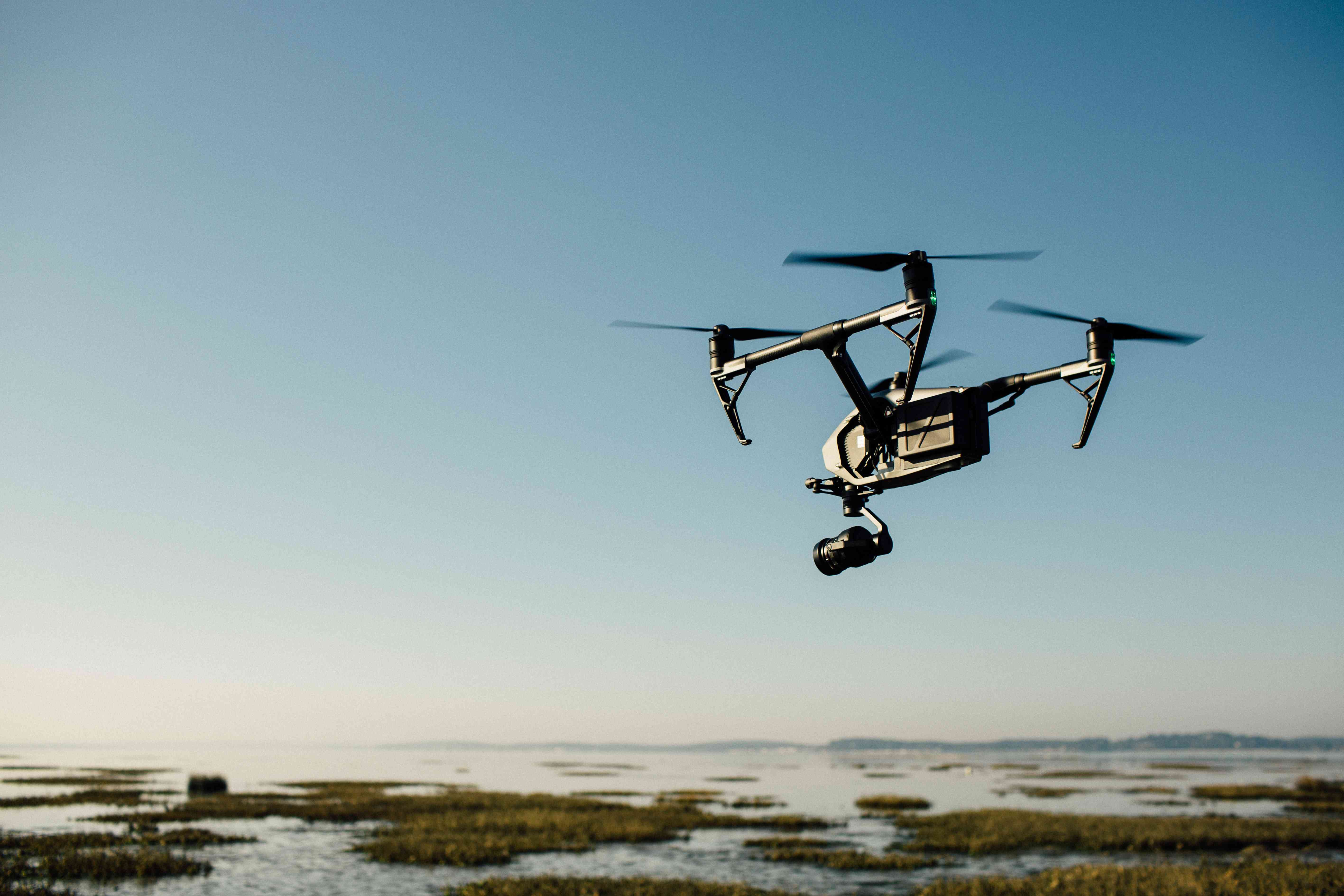
After a forest fire, the land is not an empty canvas. It is a complex system of wind, soil, slope, and surviving life. We asked: could a drone make the first move?
I spoke with farmers, built the dispersal hardware, planned autonomous routes, and tested the handoff between a machine in the air and a landscape below.
Not one isolated feature. A connected system from listening to landing.
Designed a gravity-fed release system that metered seeds consistently without compromising flight stability.
Mapped burned regions and translated recovery density into equidistant flight paths and drop points.
Accounted for drift, speed, altitude, and timing so each release landed where the model intended.
Spoke directly with farmers to understand what recovery looks like on the ground—not just on a map.
Drone fishing uses a visual signal: when the drone's LED changes from red to green, a light sensor triggers the release and drops a net into the water. I adapted that same idea for restoration. A color change on the drone became a machine-readable command; the sensor detected it, and the mechanism released a seed at the planned coordinate.
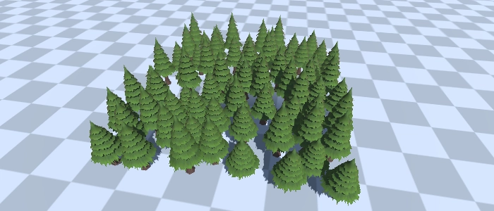
We started with location data, plant data, terrain, and the trees already surviving in each area. Then the route planner found candidate drop coordinates that stayed evenly spaced while avoiding existing plants and unsafe terrain.
The approach is commonly described as a Poisson-disk sampling or constrained coverage algorithm: generate points with a minimum separation distance, then filter them against map boundaries, obstacles, and ecological constraints.
More room for flight footage, mechanism details, maps, and field tests.